
🥾 Miyagi 仙台市
- Nigel

- Jun 30, 2025
- 5 min read
April 2025
Cancelling my subscription to the Israeli web hosters WIX is proving to be complicated. I have to change my domain name, the provider and basically build a new website. But I am on the job. One result of all this is that I have found a post which I never published......let the blog roll......
I haven't quite worked out how to find hiking paths in Japan yet. The app we use in Germany (Komoot) is virtually unknown here, and I have only just discovered All Trails, which looks promising. However, I discovered that Miyagi Prefecture (about 400 km north of Tokyo) have opened up a series of walks along the coast near Sendai. I met up with a friend to investigate. About 35 mins outside Sendai the train stops at a brand new station. Nobiru.

They have moved the line up onto higher ground, leaving the remains of the old station nearer the sea as a memorial/tourist attraction. The walking route is called the Miyagi Olle (Olle is an old word for route I think). We climbed up the steps into the woods and were soon making progress along a quiet well-kept path......
Link (in Japanese) https://www.miyagiolle.jp/

Little ribbons identified the way......

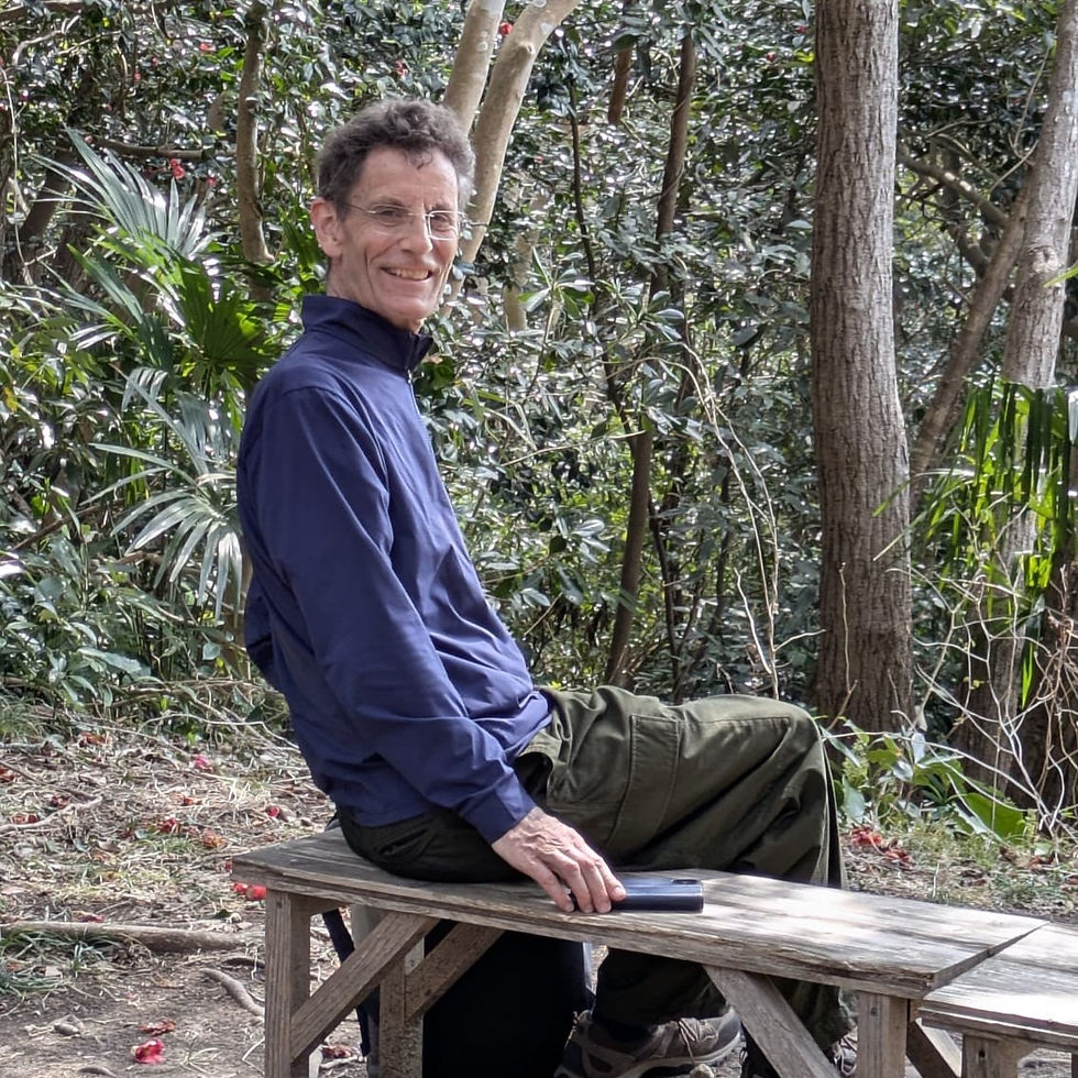
We had a modest 10km in front of us. Tomoko had recently done a 2 - week trek through Nepal, so I only had myself to think about. Here's the route....

Early on in the walk we passed the Yakushido temple...

and continued through very peaceful countryside........
.....but then got lost in the little fishing village of Satohama.

A kind shop owner helped us...In fact she couldn't stop talking.......going on and on as if she hadn't talked to anyone for ages. She probably hadn't.


.....and when I opened my mouth it was all..."where do you come from? You speak such good Japanese ! ( don't believe it...it's just a polite expression ) Why do you not live here? etc. etc. We had to start walking and smiling and bowing unless we wanted to stay chatting all day. And no, I don't know what this sign means.....

We found ourselves in rice fields. But something was not quite right here. Cliffs jutted into the fields......

...and around one corner, at the edge of a wood were piles of anchors, buoys and all the bits and pieces you would normally associate with a harbour....

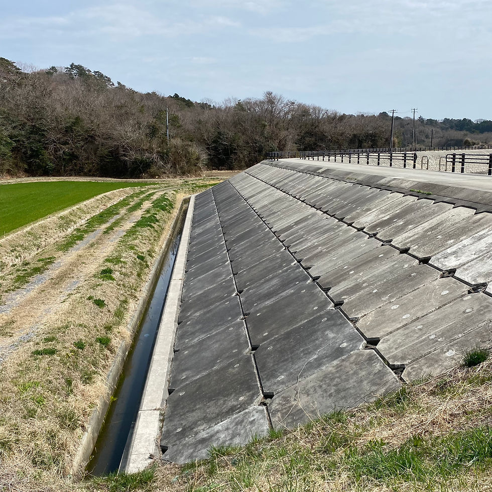
.....turning around and looking back we could see the explanation. The flood barrier was new, and it had obviously cut off a secton of a small bay.....
It felt strange, and the past seemed to brood here in this quiet countryside.
However, climbing out of the "bay" we were greeted by the cheerful sight of Sakura....*
👉........... In the earlier part of the 20thc Japan was very successful in its war against Russia. As we all now know, it subsequently embarked on the adventure called the "Empire of Japan", gripping its citizens (and especially its youth) in authoritarian militaristic propaganda. Sakura was exploited to the full.🌸 The government decided to hang the national identity onto one particular sort of cherry tree, the somei-yoshino. However, few of us visiting Japan today would associate these delicate flowers with a militaristic mythology. It asserted that the falling petals represented the souls of dead fighters. No surprise then that the planes used in Kamikaze missions sported the emblem of Sakura. Thousands of these trees were planted during the 1940s, leading to a dearth of the many other diverse types of cherry trees.
This is all revealed by Naoko Abe in her fascinating book "Cherry Ingram".
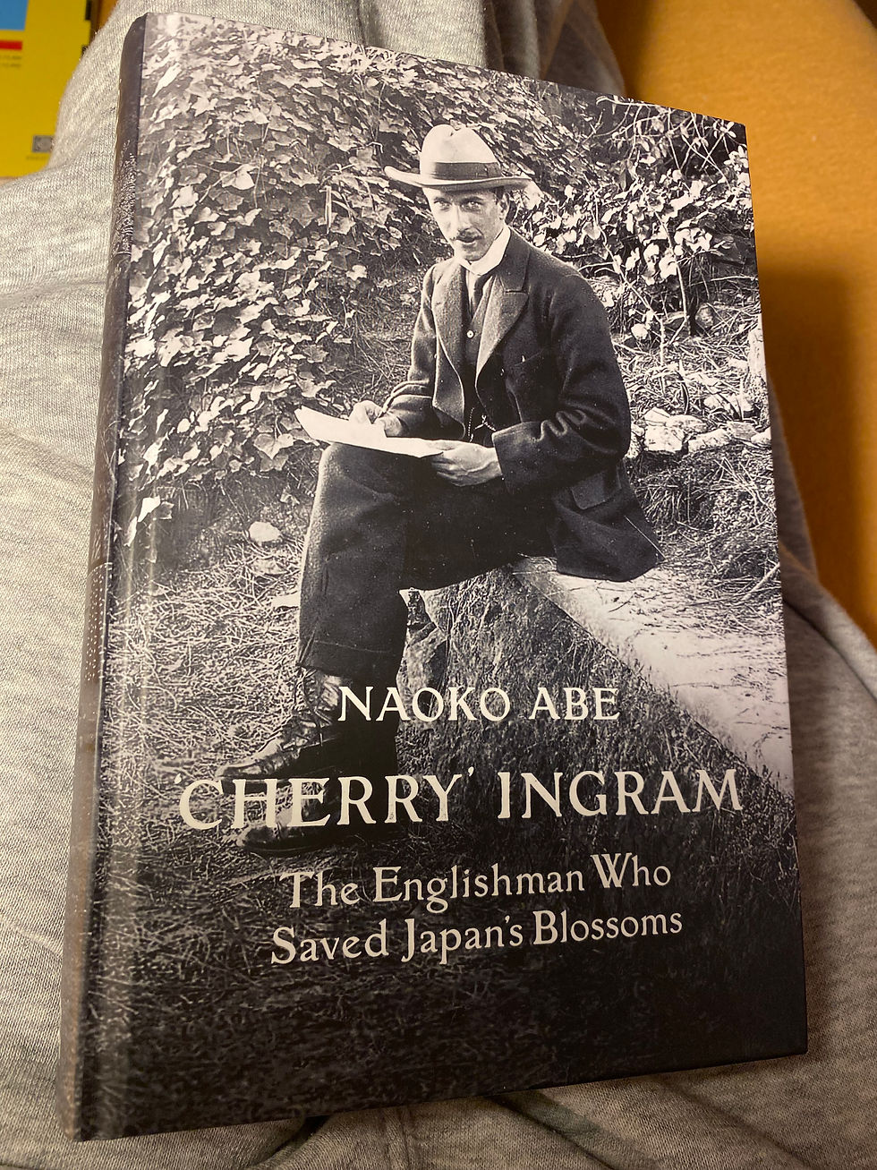
She tells the story of a remarkable wealthy Edwardian (the same family which founded the Illustrated London News) whose obsession with cherry trees led him, in the 1920s (using grafts and seeds) to plant them in his garden in Benenden in Kent.

......... thereby saving some exotic specimens which had in the meantime become extinct in Japan.

The happy ending to all this was that some of Ingrams specimens were exported back to Japan after the war. Symbols of reconciliation and hope for the future. https://en.wikipedia.org/wiki/Collingwood_Ingram

Back to our hike: A view point offered an ideal spot for a lunch break....

The forests here ring to the sound of bulbuls and crows, and often feels sort of primaeval.....https://en.wikipedia.org/wiki/Bulbul

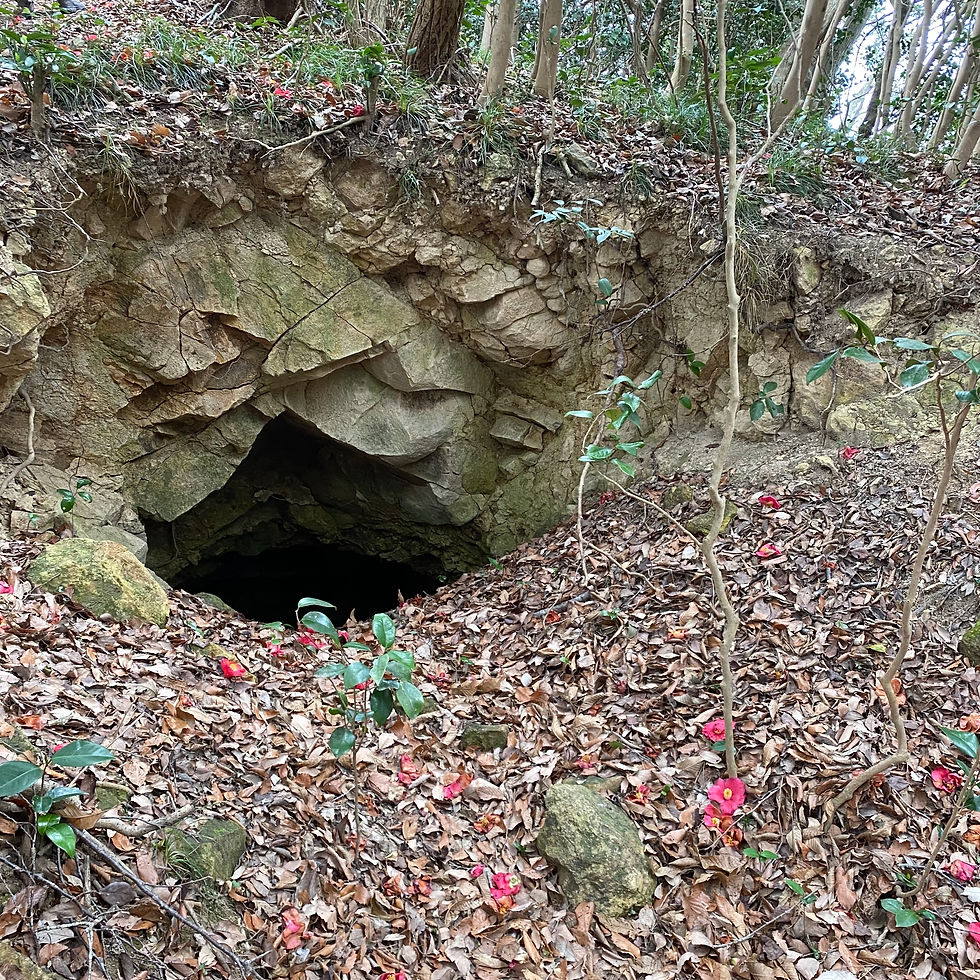
There was a strange unexplained hole at one point....
Pressing onwards.....

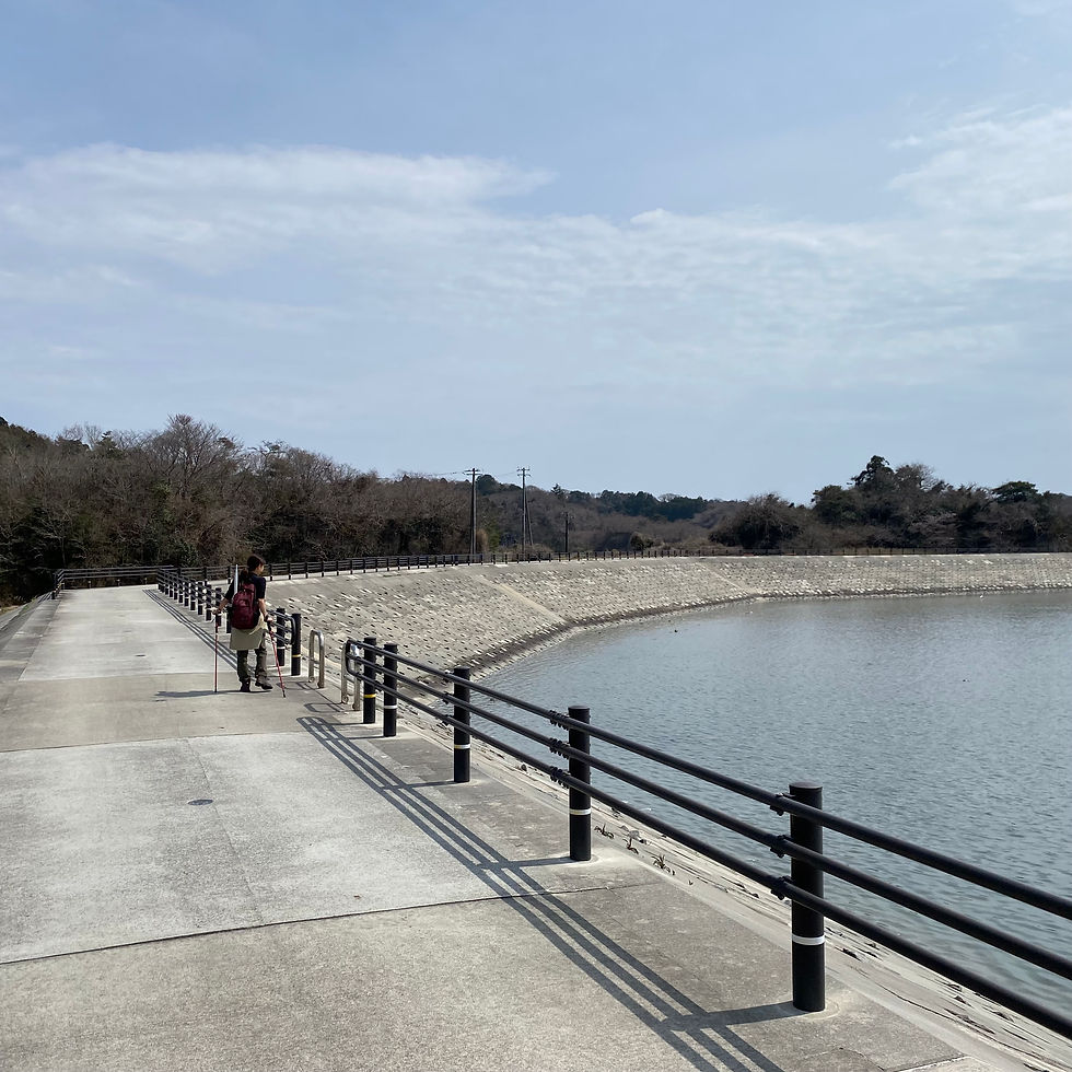
.....another surprise was in store - the Shinhama Promontory......
......and the port of Tsukihama

with its strange cliffs......

and enticing sands.....

Sometimes it seems difficult to keep nature at bay. This is a sign to a Tsunami evacuation point.....better bring a hatchet if you want to get through here...or a samurai sword perhaps?......

A wayside shrine announces the entrance to a (sadly) huge cemetery. Tomoko did not want to walk past this, but we had to keep to the route......

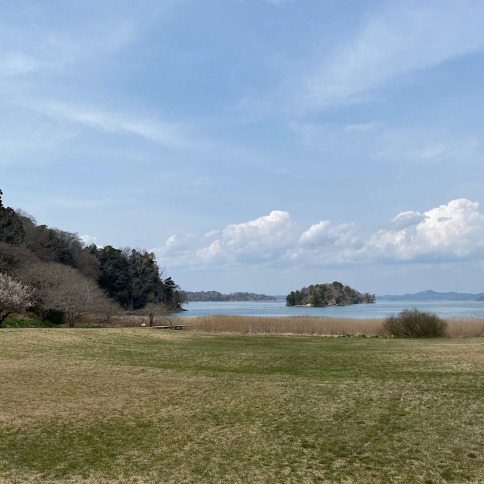
The clouds had closed in by the time we reached Mt. Otakomori, the highest point at the end of the route. This is the view over the bay to Matsushima.

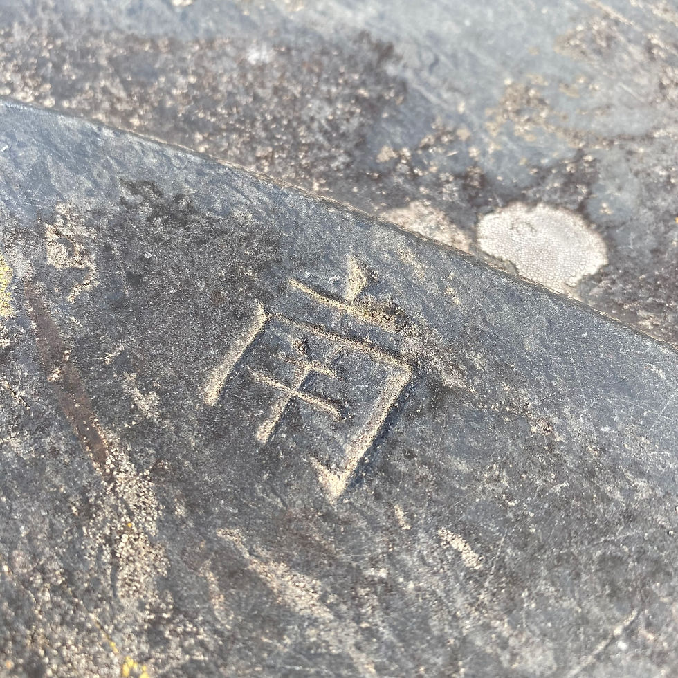
A stone table is engraved with the points of the compass: This is South 南 (minami)
Back in Sendai we wasted no time in finding an Izakaya
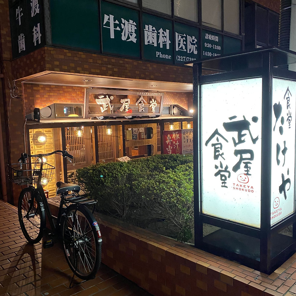
.......and tucked into a mouth watering meal...
My mother always used to comment on how thin I was. Well, I'm doing my best now, mother....

As always, thank you for reading, and if you know anyone who might be interested in this blog then do send it on. My intention in writing these blogs is not to brag about some wonderful holiday, but to share some personal insights into this strange country. Especially for those who think that Japan is just crowded cities full of manga characters, hectic pedestrian crossings and samurai warriors on every corner.
読んでくれてありがとう
See you....... matane!
Nigel 🖋️
THE END 終わる
(Meanwhile....back home in Hodogaya....gotta keep Nigel-san's bed warm......)


Comments